


Technicalities
-
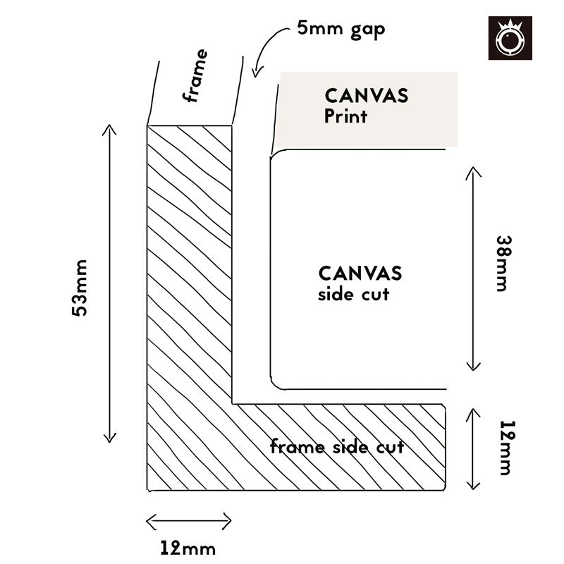
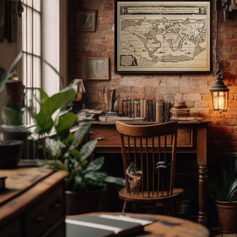
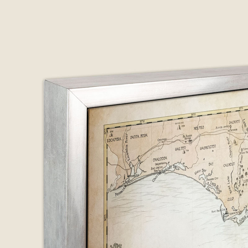
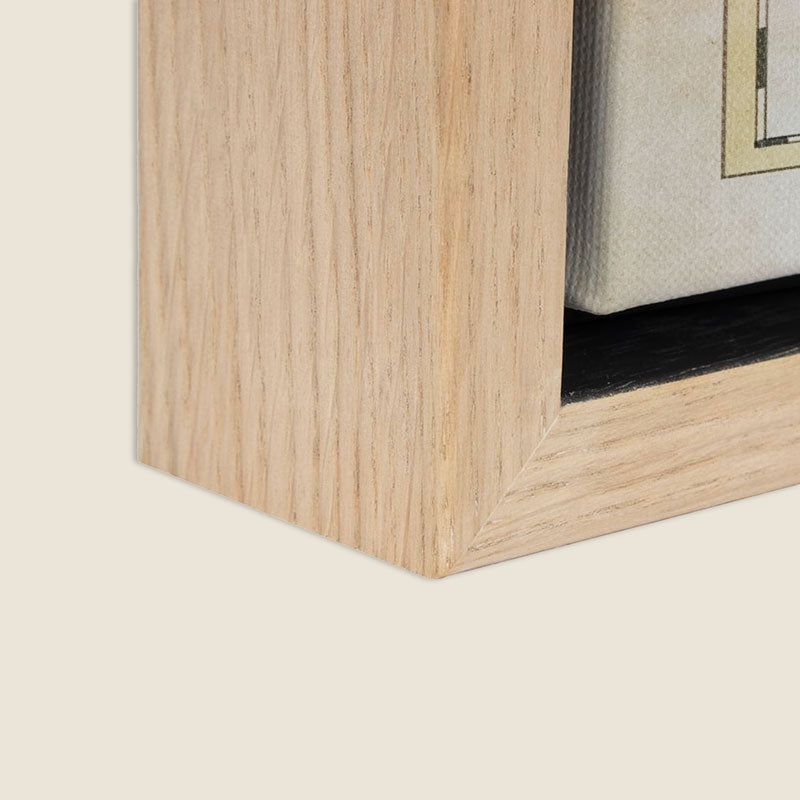
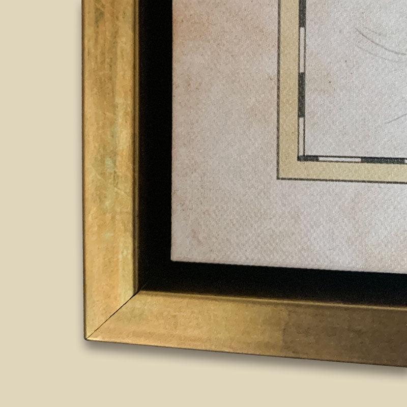
Box Framed Canvas:
- Framed size add 2" to the overall size of the print.
- Framed with a 2.4" thick FSC wood frame and giclée printed on extra fine canvas for impeccable detail.
- Carefully protected and shipped in a secure box.
- Back string and hardware not included.
-
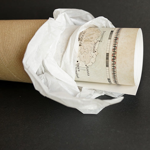
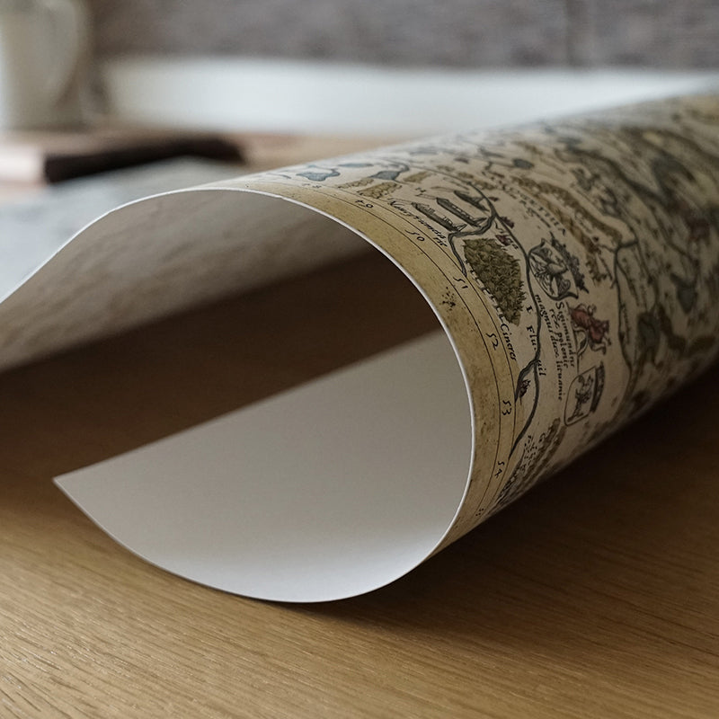
"Print Alone" Option:
- Printed on 200 gsm heavyweight archival museum etching paper.
- Giclée printed with natural pigments for vibrancy.
- Shipped rolled in a tube.
-
Your guarantees:
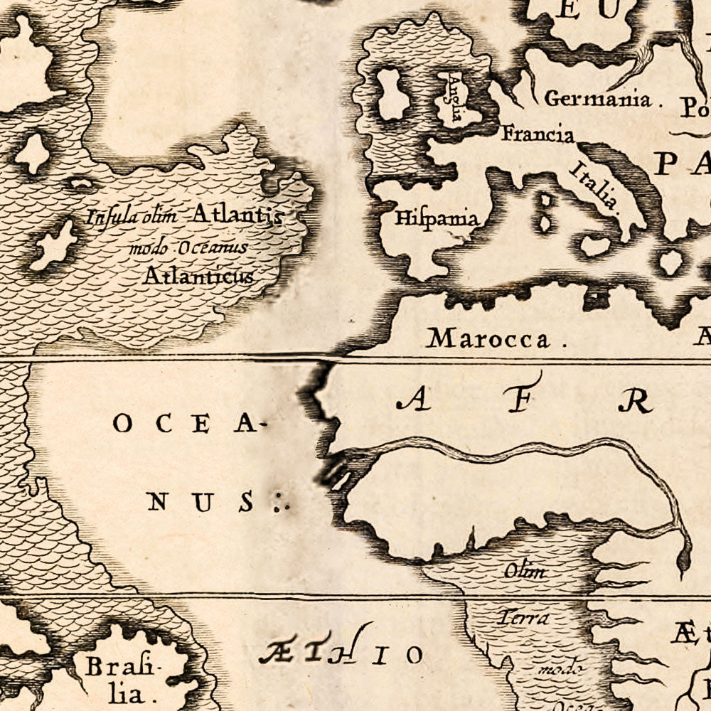
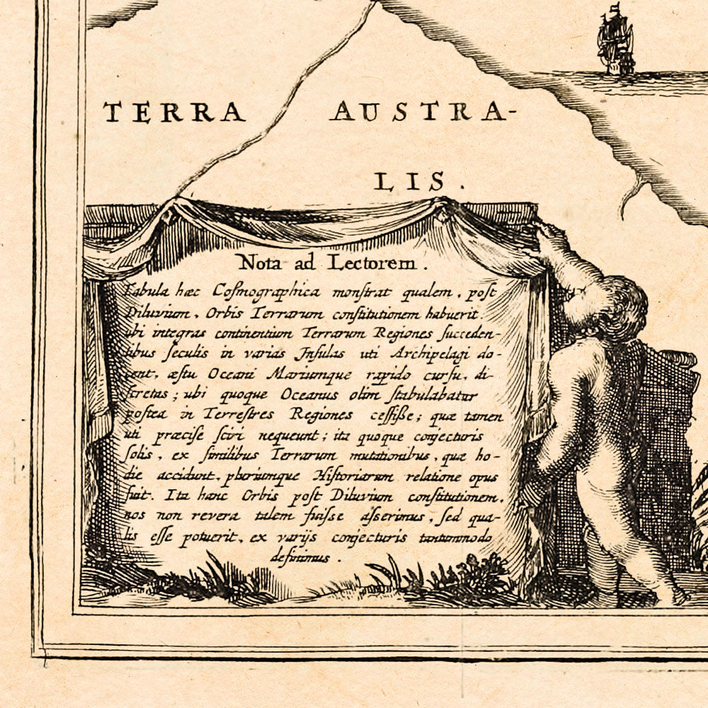
- High quality resolution for the best legibility.
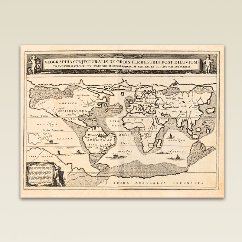
- True reproduction that is high resolution and true to the original map's colors.
- Free shipping & packing.
- No added taxes.


-

FREE TRACKED DELIVERY
On all your orders
-

PERFECTLY WRAPPED
For safe & secure transit
-

DESIGN EXCELLENCE
Original British Cartography


