


Technicalities
-
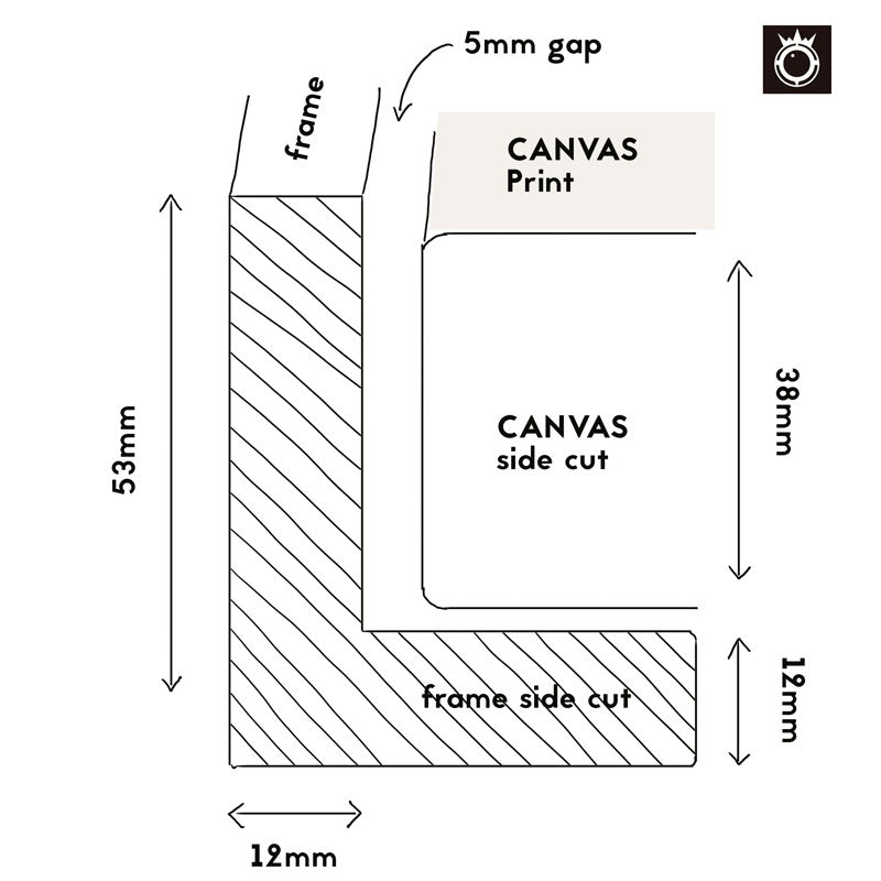
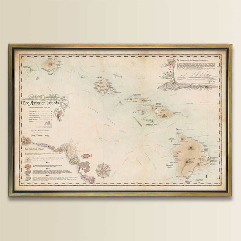
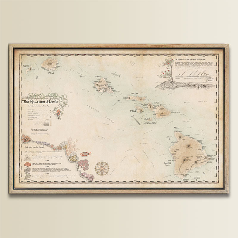
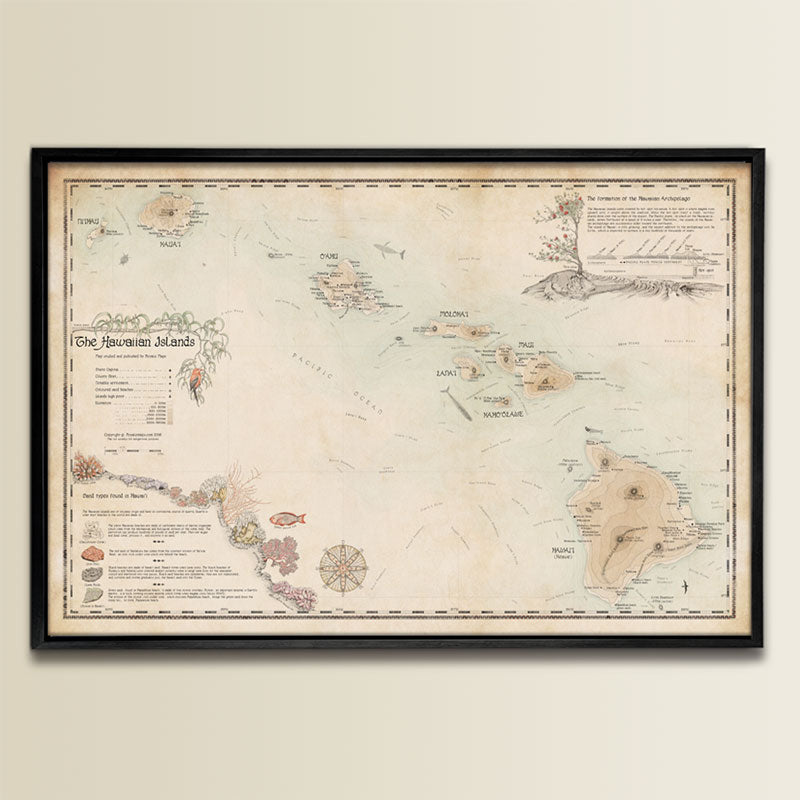
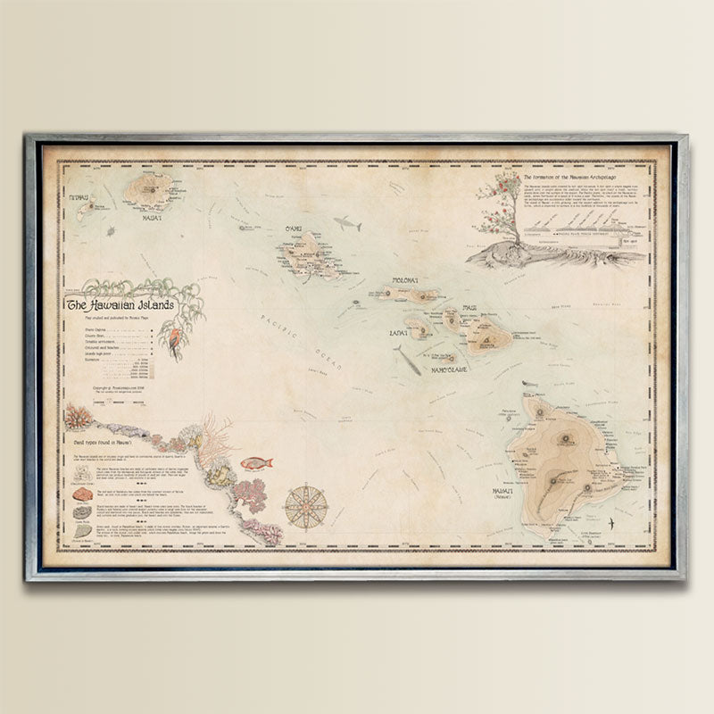
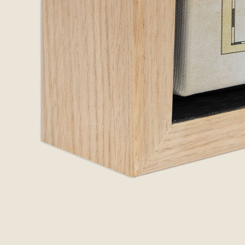
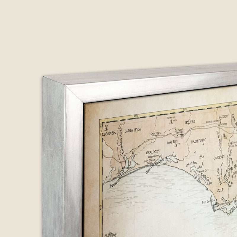
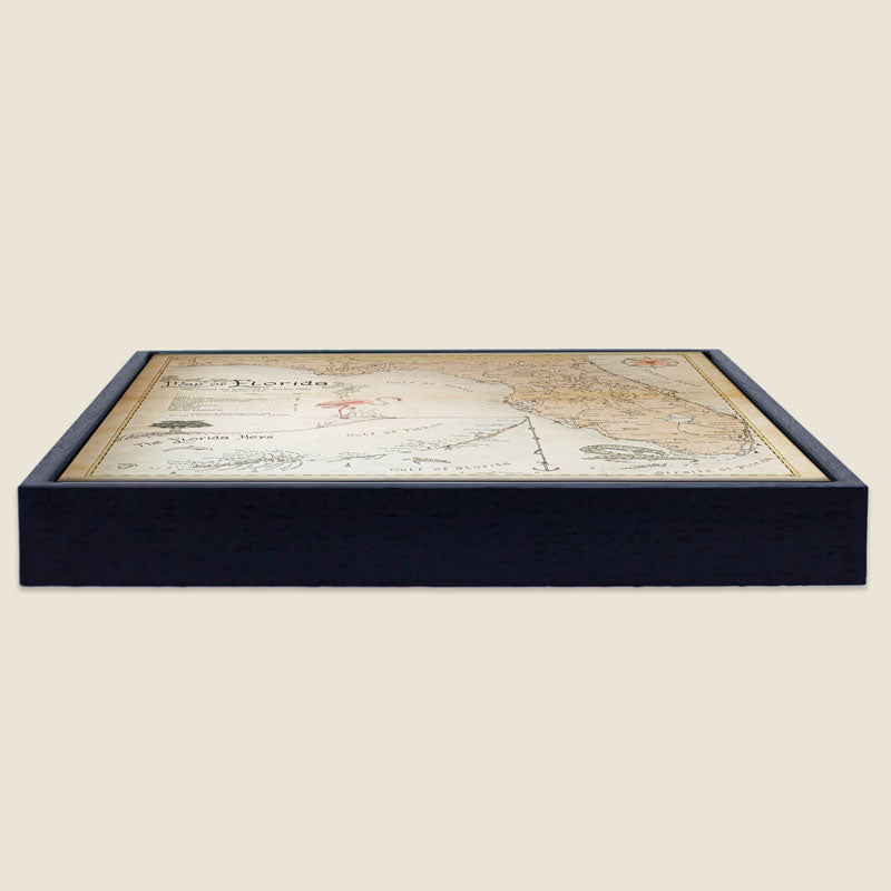
Box Framed Canvas:
- Framed size: 26" x 38"
- Framed with a 2.4" thick FSC wood frame and giclée printed on extra fine canvas for impeccable detail.
- Carefully protected and shipped in a secure box.
- Back string and hardware not included.
-
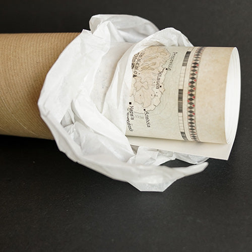
"Print Alone" Option:
- Print Size: 24" x 36"
- Printed on 200 gsm heavyweight museum etching paper.
- Giclée printed with natural pigments for vibrancy.
- Shipped rolled in a tube.
-
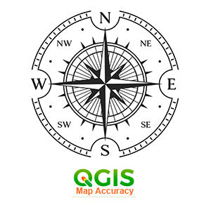
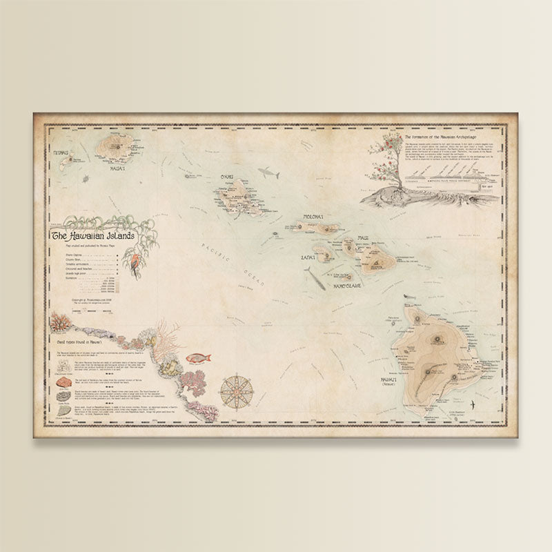
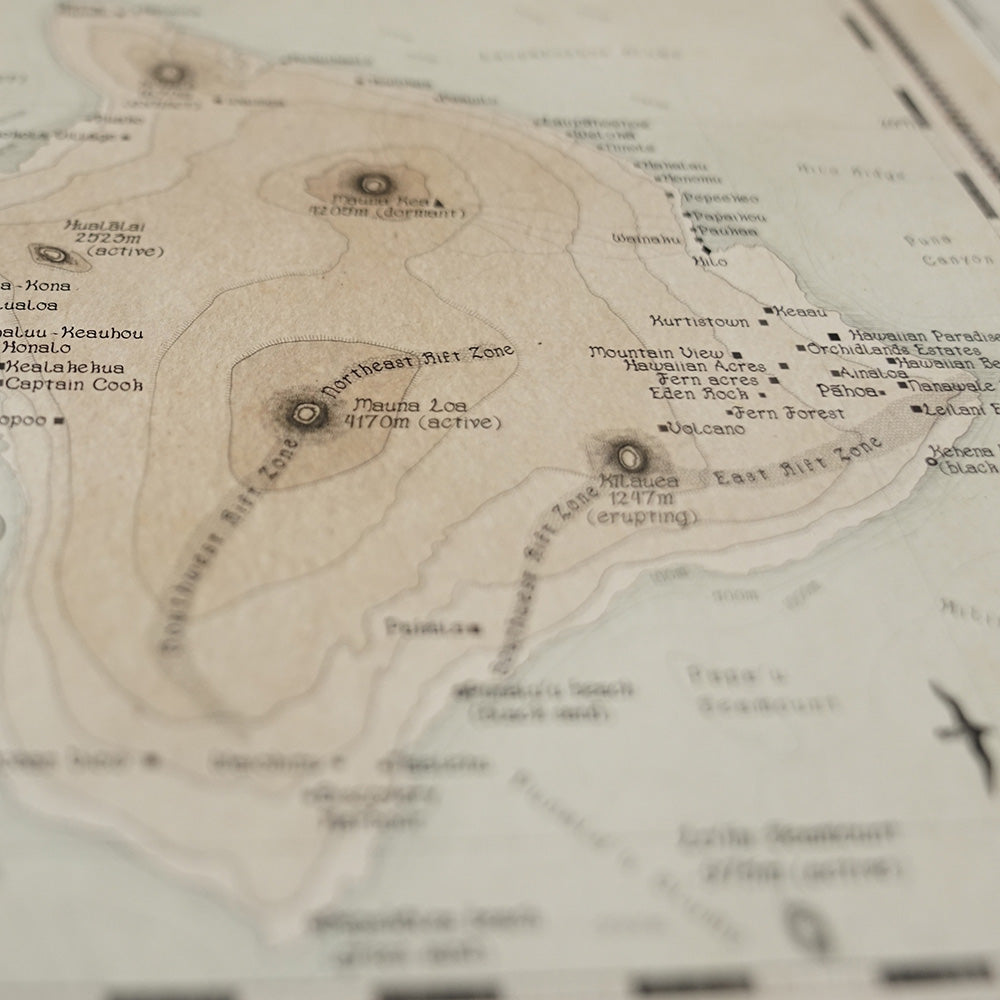
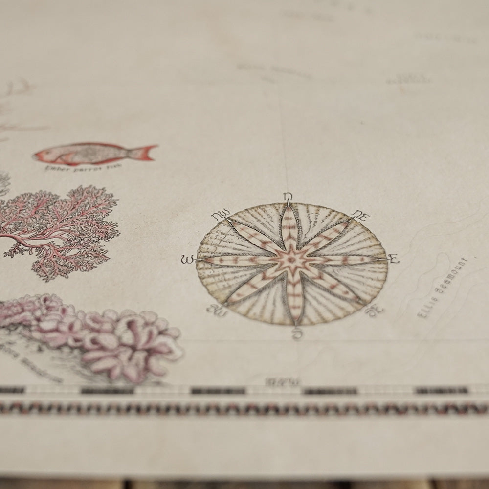
Satellite Accuracy:
Unlike old map reproductions, this original cartographic artwork is based on modern satellite imagery for better accuracy.
Map designed by Royale Maps, exclusively for Royale Maps and you!


-

FREE TRACKED DELIVERY
On all your orders
-

PERFECTLY WRAPPED
For safe & secure transit
-

DESIGN EXCELLENCE
Original British Cartography


