Royale Maps
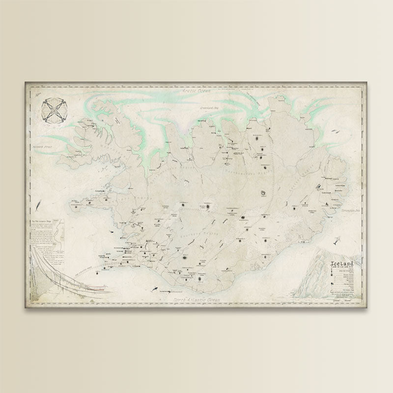
MAP OF ICELAND
MAP OF ICELAND
Original illustrated map.
Couldn't load pickup availability
MAP STORY
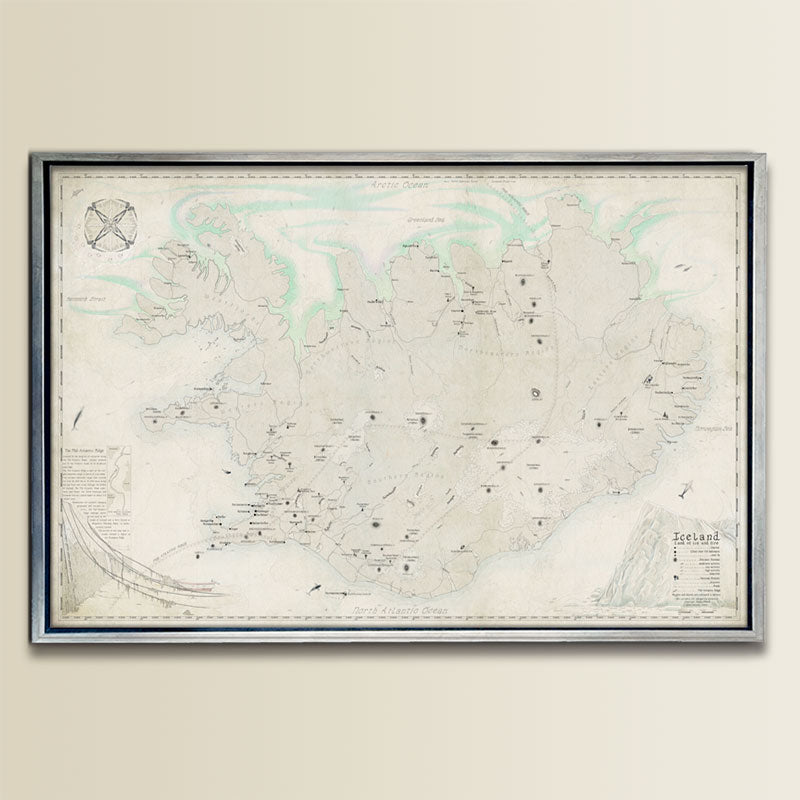
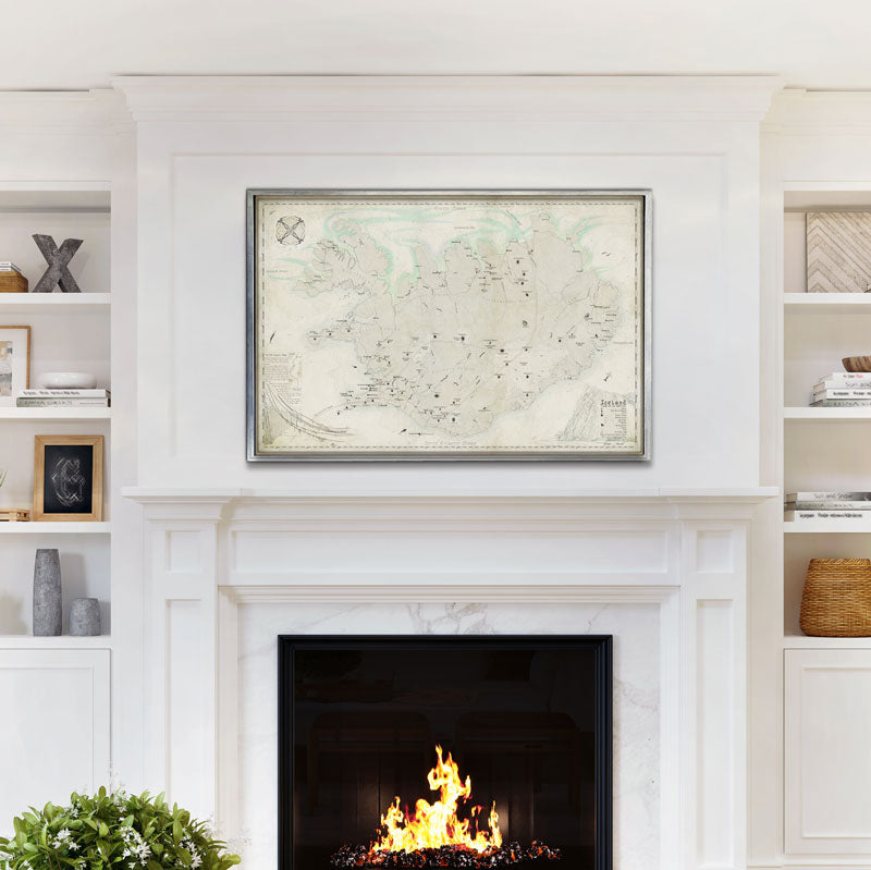
This hand-drawn map of Iceland showcases the country's unique geology, the powerful Mid-Atlantic Ridge, and the magical Aurora Borealis.
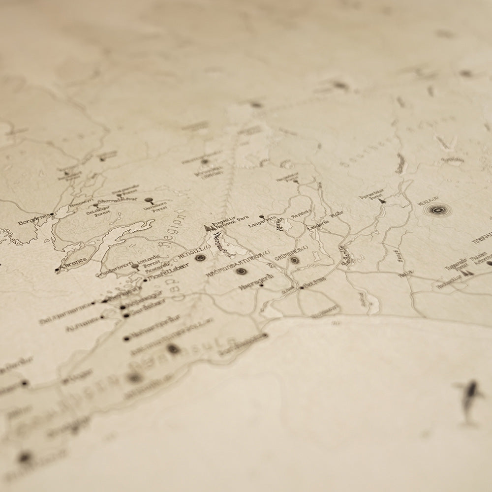
From dormant to active volcanoes, and even the elusive killer whale, narwhal, and sperm whale, all of Iceland's natural wonders are beautifully represented. You'll also find towns and cities, including smaller ones with populations of up to 1000, plotted on the map.
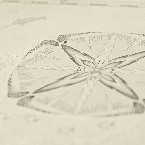
In addition, a compass of ice and fire, accompanied by the hint of an Arctic fox, highlights the country's rugged yet enchanting landscape. The map also includes key features such as national forests, lakes and rivers, main roads, sea elevations, and more. Truly a must-have for any Icelandic lover!
Share
Technicalities
-
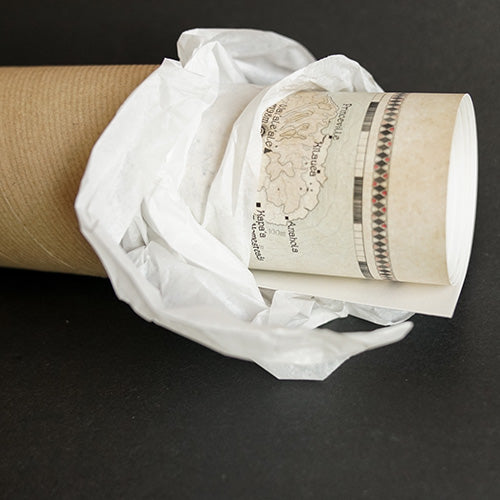
"Print Alone" Option:
- Print Size: 24" x 36"
- Printed on 200 gsm heavyweight museum etching paper.
- Giclée printed with natural pigments for vibrancy.
- Shipped rolled in a tube.
-
Satellite Accuracy:
Unlike old map reproductions, this original cartographic artwork is based on modern satellite imagery for better accuracy.
Map designed by Royale Maps, exclusively for Royale Maps and you!
Let customers speak for us
from 14 reviewsLove this Osteichthyes (fish) print, definitely my favorite.
Super good quality and looks great, recommend it to anyone who wants to upgrade their home.
My map is here and beautiful. Takk!
The paper is thick, be careful not to fold a corner while unboxing the map, which I did. Thankfully it' now hidden by the frame! The artwork is brilliant, all about natural aspects of the islands.
Absolutely beautiful and is the perfect gift!
God bless!
I purchased the map to decorate the lobby of our agency.
It adds a nice touch of warmth, and was noticed by a customer on the first day of hanging it up. It's great to start conversations about our beautiful state.
i set out to find a nice map of Hawaii for the office, and believe i've found the best. The only one that's up to date, that you can actually read and the artwork is absolutely gorgeous. Really happy with my order.
Mesmerizing... I love it, thanks!
A stunning map of this incredible place. I purchased this map for my husband who resided in the IOM for 26 years. The detail are amazing and heartwarming. I ordered this map from Canada and this company was exceptional to deal with. Our map arrived in excellent condition and in a timely manner. I would recommend.
Beautiful work. Although I moved out, I still have family in Florida. I love it, thanks!
The detail and quality of the map is amazing so I just had one framed as a gift for my brother's 40th. My brother and I are Manx so it's awesome to see these maps highlighting the hidden gems of the Isle of Man in such detail.
Highly recommend getting it framed.
Wow, impressed with the product quality, the vibrant colors and the artwork. Now we just need to choose the right frame!
Fast delivery, thanks!
The map looks fantastic in my office. Paper and print quality is miles away from usual posters. Looking forward seeing more maps to decorate other areas of the house.
Congratulations To the designer! This map is so beautiful, its a very good memory from Mann.
A beautiful map. Fine details leave plenty to discover. My order was despatched quickly and arrived safe and secure, all the way to Australia! Well done team !
-

FREE TRACKED DELIVERY
On all your orders
-

PERFECTLY WRAPPED
For safe & secure transit
-

DESIGN EXCELLENCE
Original British Cartography
